

Maine National Geographic Map
National Geographic
$9.95
(No reviews yet)

Write a Review
National Geographic
Maine National Geographic Map
• Waterproof • Tear-Resistant • Travel Map
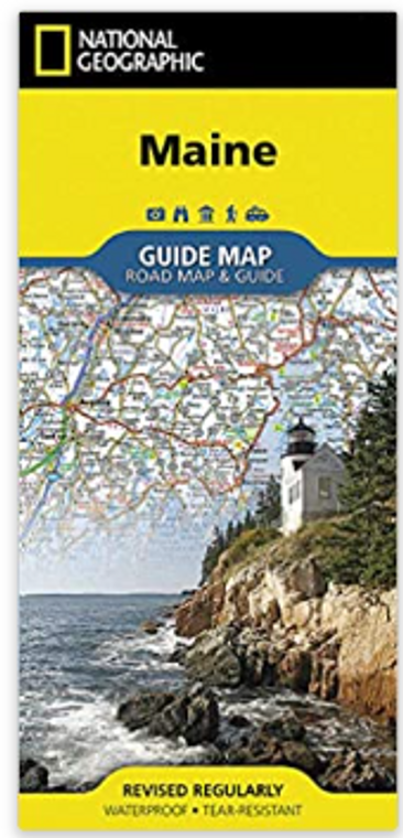
National Geographic's Maine Guide Map is designed to meet the needs of travelers with detailed and accurate cartography and loads of helpful information about the state's many points of interest. In addition to a state map, inset maps provide detail of the cities of Portland, Freeport/Yarmouth, Bar Harbor, Bangor, Augusta, and Lewiston-Auburn. Specialty content to include hundreds of diverse and unique recreational, ecological, cultural, and historical destinations, make this map invaluable to travelers hoping to experience all the state has to offer. Maps and information about the Lighthouses of Maine scenic drive and Acadia National Park highlight some of the stunning beauty and unique attractions to be found in the state.
A chart of park service sites and climate information will be particularly helpful to travelers taking in the many outdoor activities in Maine. Cities and towns are clearly indicated and easy to find in the user-friendly index. Highways, roadways, toll roads, scenic routes, and other roads are clearly designated. Distances in miles are noted on major highways so travelers can easily plan their best route. National and state parks, public campsites, visitor information centers, airports, ski areas, ports of entry, and hospitals are noted as well.
Every State Guide Map is printed on durable synthetic paper, making them waterproof, tear-resistant and tough — capable of withstanding the rigors of any kind of travel.
- Map Scale = 1:760,000
- Sheet Size = 17.75" x 24.75"
- Folded Size = 4" x 8.75"


