


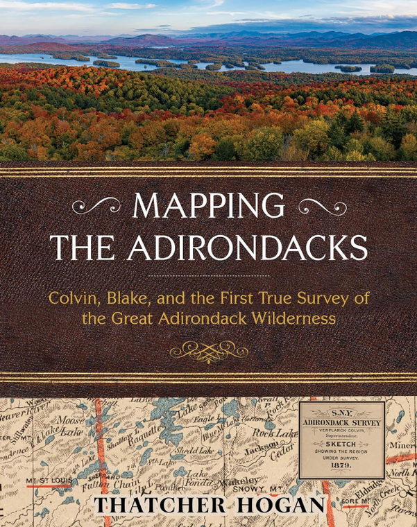
Mapping the Adirondacks: Colvin, Blake, and the First True Survey of the Great Adirondack Wilderness
Thatcher Hogan
$36.95
(No reviews yet)

Write a Review
Thatcher Hogan
Mapping the Adirondacks: Colvin, Blake, and the First True Survey of the Great Adirondack Wilderness
New York State’s famous Adirondack landscape is immense, spanning over six million acres of public forests, lakes, rivers, mountains, and private lands. In full color featuring hundreds of detailed maps and photos, Mapping the Adirondacks celebrates it all with the first clear account of the original surveyor who explored and fully comprehended it—Verplanck Colvin. “Everywhere below,” Colvin wrote, “were lakes and mountains so different from all maps, yet so immovably true.”His monumental accomplishment helped motivate the citizens of New York in 1894 to legally protect it for generations to come.
As an eighteen-year-old budding travel writer, explorer and surveyor, Colvin began personally mapping a half-million acres of true Adirondack wilderness in 1865. Then, shortly after the state began partially funding his audacious project, Colvin reinvented himself as the “Superintendent" of a “Survey of the Adirondack Wilderness” and hired another equally intrepid surveyor to help—his ever-dependable friend Mills Blake. They extended the scope and granularity of their survey several times, hired hundreds of Adirondack guides and other talented people to assist, and devoted twenty-eight years to the challenge of professionally surveying the Adirondacks.


